
Surveying, construction and site monitoring
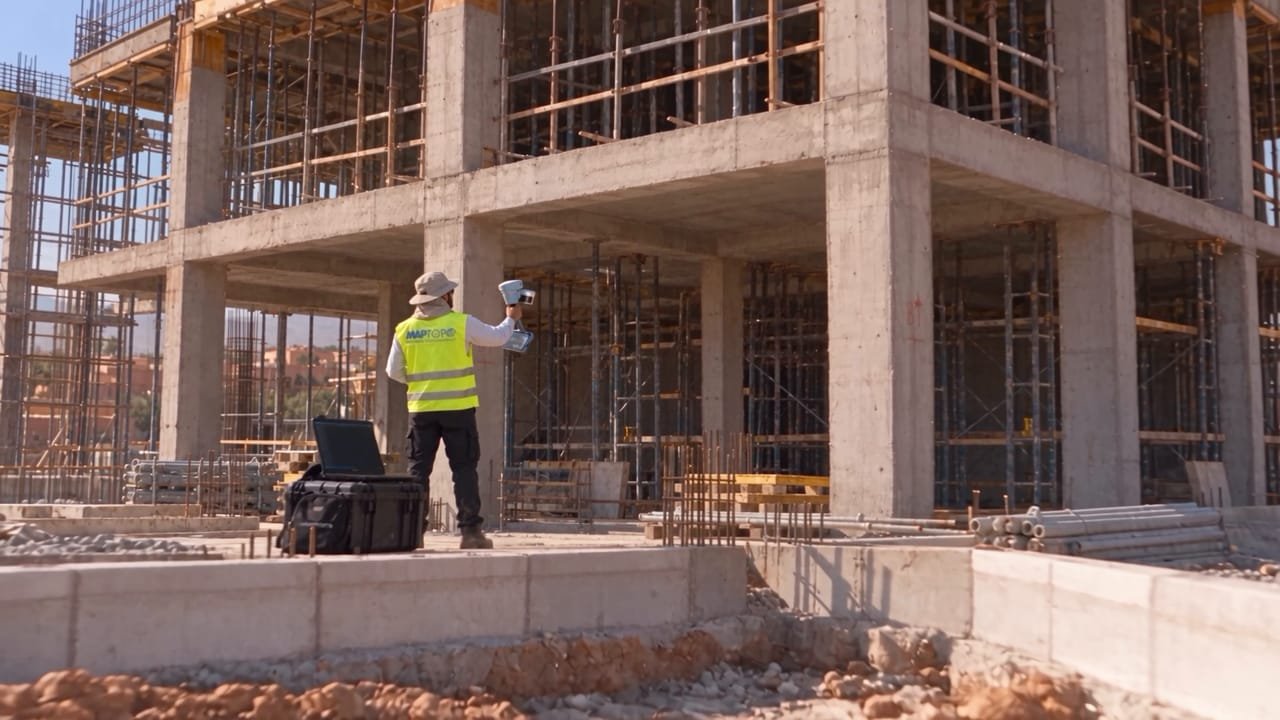
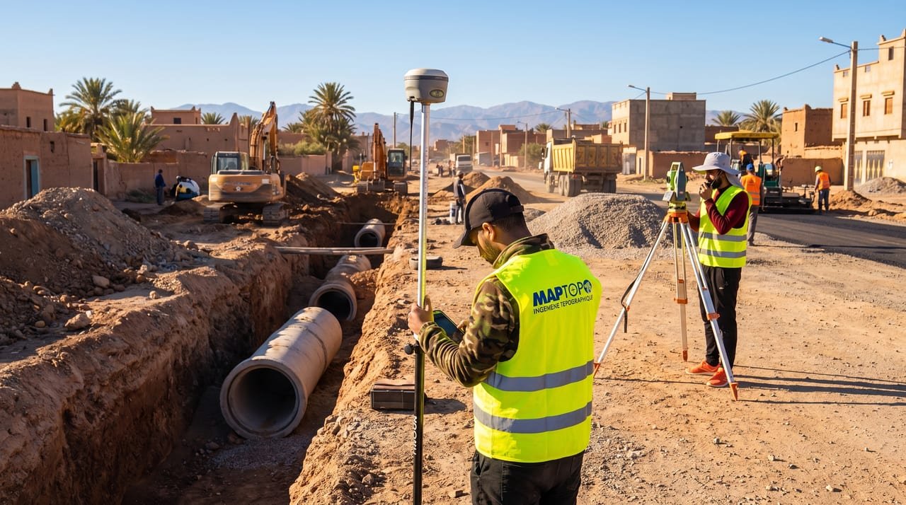
Surveys, setting out, construction control, roads, utilities and volume calculations.

Theme
MAPTOPO · Topographic engineering
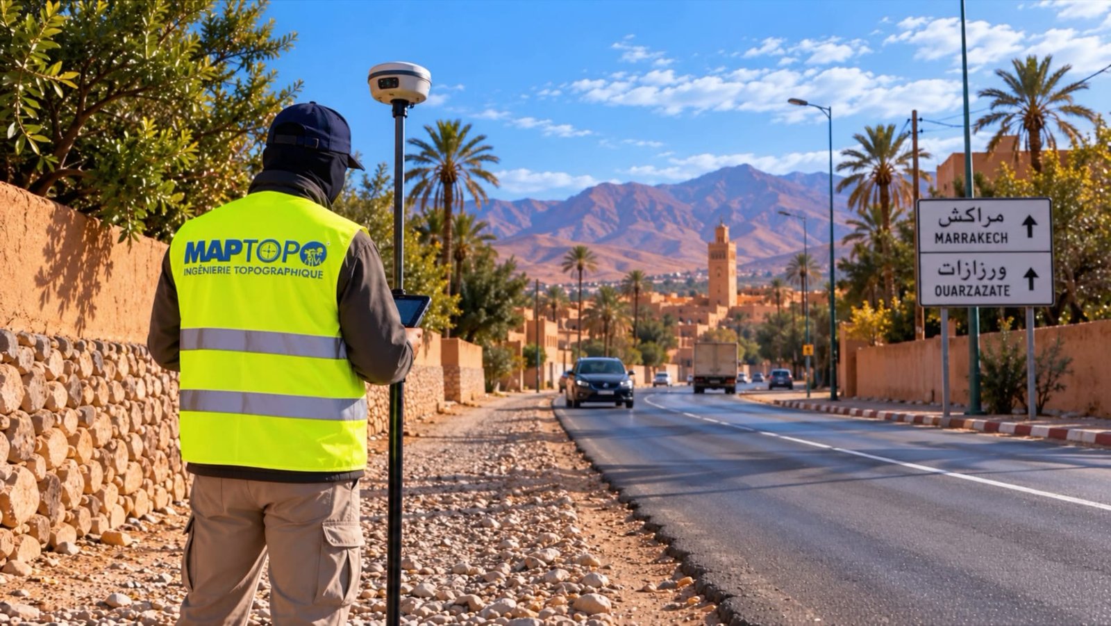
Surveys, boundaries, setting out, drone and 3D scanning: MAPTOPO measures land and structures for private clients, construction companies and public project owners, from Ouarzazate and across Morocco.
Before designing, buying, dividing or building, you need to know the land as it really is. MAPTOPO carries out these measurements and turns them into plans, digital models and reports that can be used directly.
Our surveyors work with the latest generation of instruments and follow each assignment from the first survey to the delivery of the final documents, with a single point of contact.

Surveys, setting out, construction control, roads, utilities and volume calculations.

Boundary surveys, division, housing developments, land files and property surveys.

Aerial surveys, orthophotos, point clouds and digital models.

Mapping, satellite image analysis and underwater bed surveys.

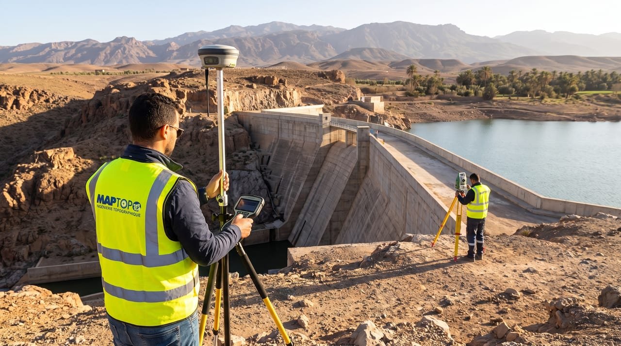
Solar power plants, major earthworks and structural monitoring.
Our priority is the successful delivery of every project and the satisfaction of our clients. We remain a close-knit team so we can keep direct contact, follow each assignment from start to finish and give advice suited to your real needs.
Measurements tied to the project coordinate system and checked before delivery.
Method, accuracy and deliverables agreed with you from the outset.
Files delivered in the formats used by the teams who will work with them.
A base in Ouarzazate, close to the sites of southern Morocco.
Site reconnaissance and tie-in to the project coordinate system.
Field acquisition: GNSS, total station, drone or laser scanner, depending on the assignment.
Computation, adjustment and accuracy checks on every measured point.
Terrain model, point cloud, topographic plans: the site becomes usable data.
Deliverables that let you design, set out and inspect with confidence.




Terrain, aerial survey, boundaries, roads and utilities, 3D scanning and energy: explore each area of expertise through interactive maps, plans and figures.
Explore our expertiseA surveyor measures land, boundaries and structures, then produces the plans and data used to design, buy, divide, build and inspect a project.
Yes. The firm is based in Ouarzazate and works across southern Morocco as well as on sites throughout the rest of the country.
The location of the land, its approximate area, the type of assignment and any available documents (land title, plans). Describe your project in the form or give us a call.
Plans in DWG and PDF, orthophotos in GeoTIFF, point clouds in LAS or E57, coordinate tables and reports, depending on your teams’ needs.