Services

From the first measurement on site to the inspection of the finished works, every service rests on the same standard: accurate, verified and usable data.

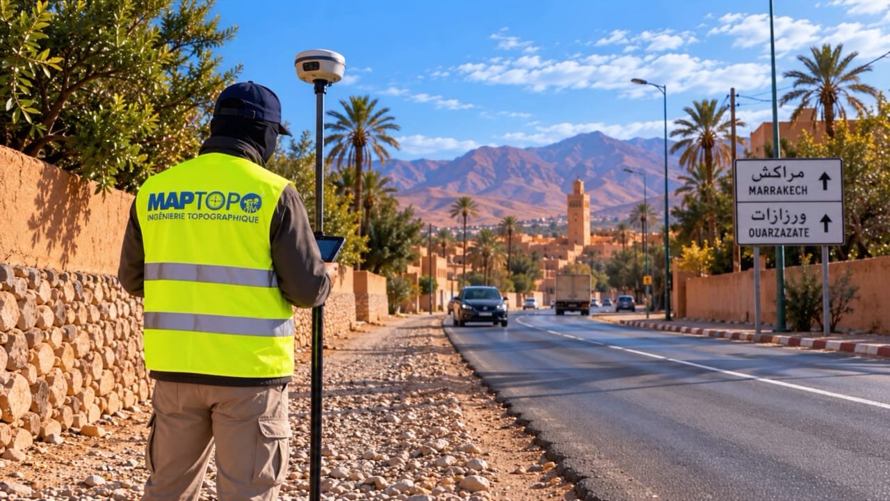
  1. 01 Topography Measuring the land as it is, before transforming it.Topographic surveys · Spot-height plans · DTM
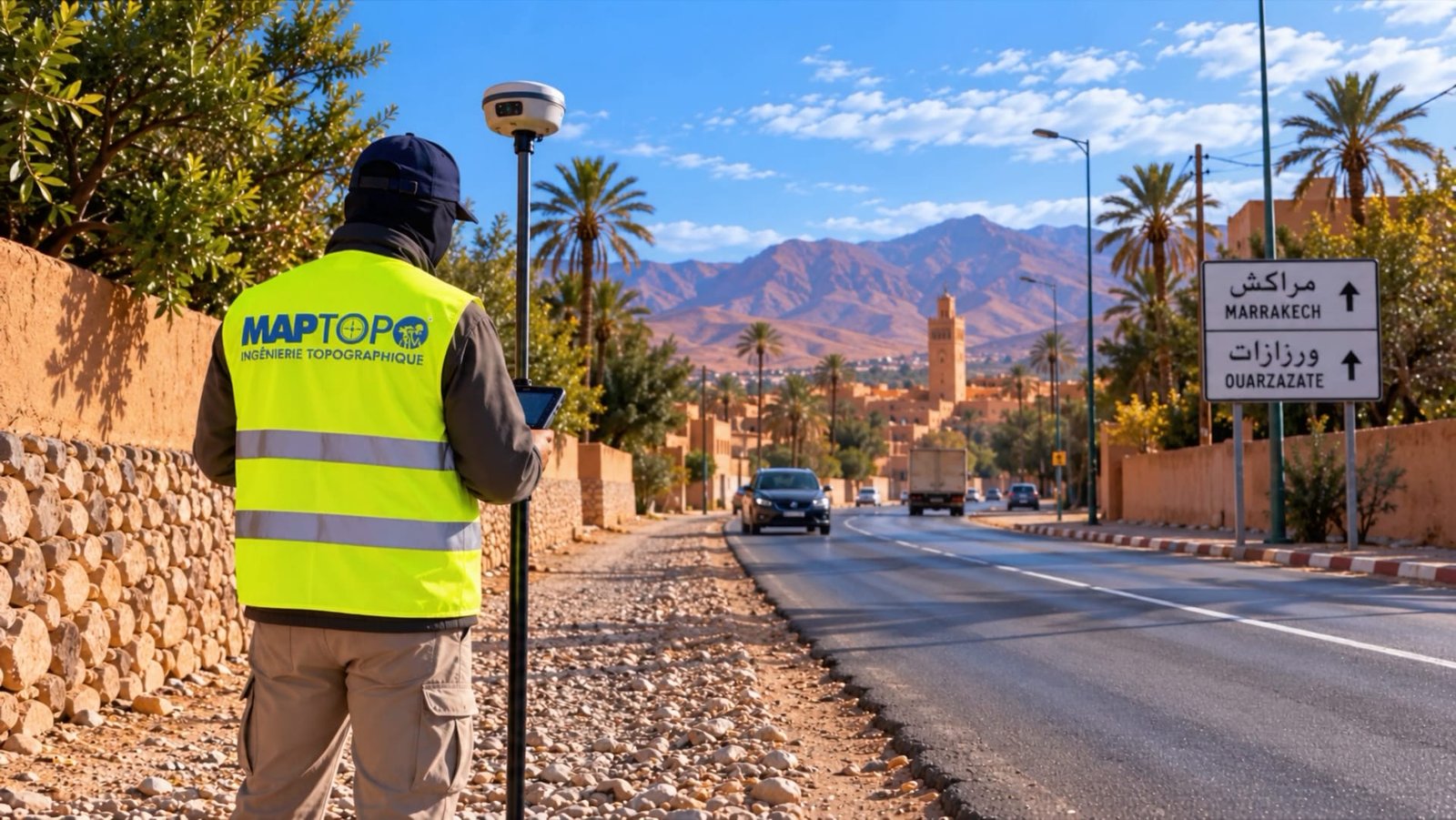
  2. 02 Setting out and construction monitoring From plan to ground, in the right place and at the right level.Setting out · Inspection · As-built survey
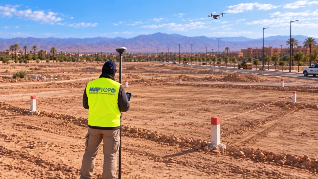
  3. 03 Drone and photogrammetry Hectares surveyed from the sky, controlled from the ground.Aerial survey · Orthophoto · DSM / DTM
  4. 04 Boundaries and land Every boundary measured and marked on the ground.Boundary marking · Subdivision · Housing developments · Co-ownership
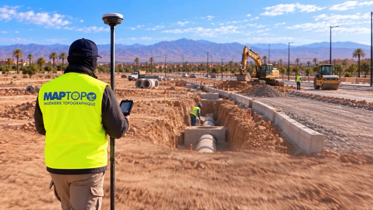
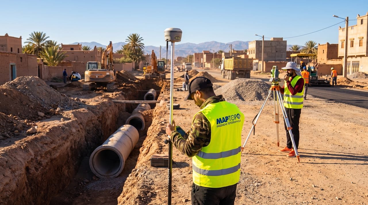
  5. 05 Roads and utilities The right level, along the entire length.Roads · Sewerage · Water supply · Networks
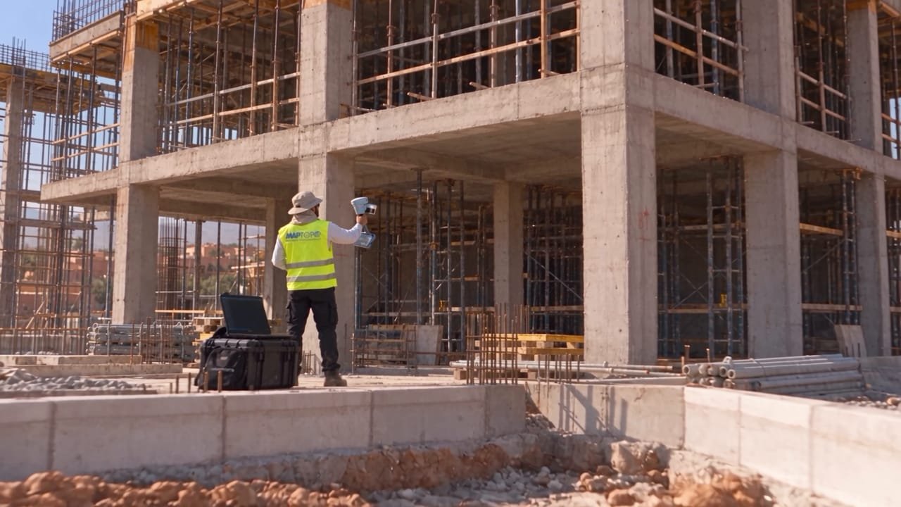
  6. 06 3D scanning and BIM Buildings, captured point by point.Laser scanner · Point clouds · Scan to BIM
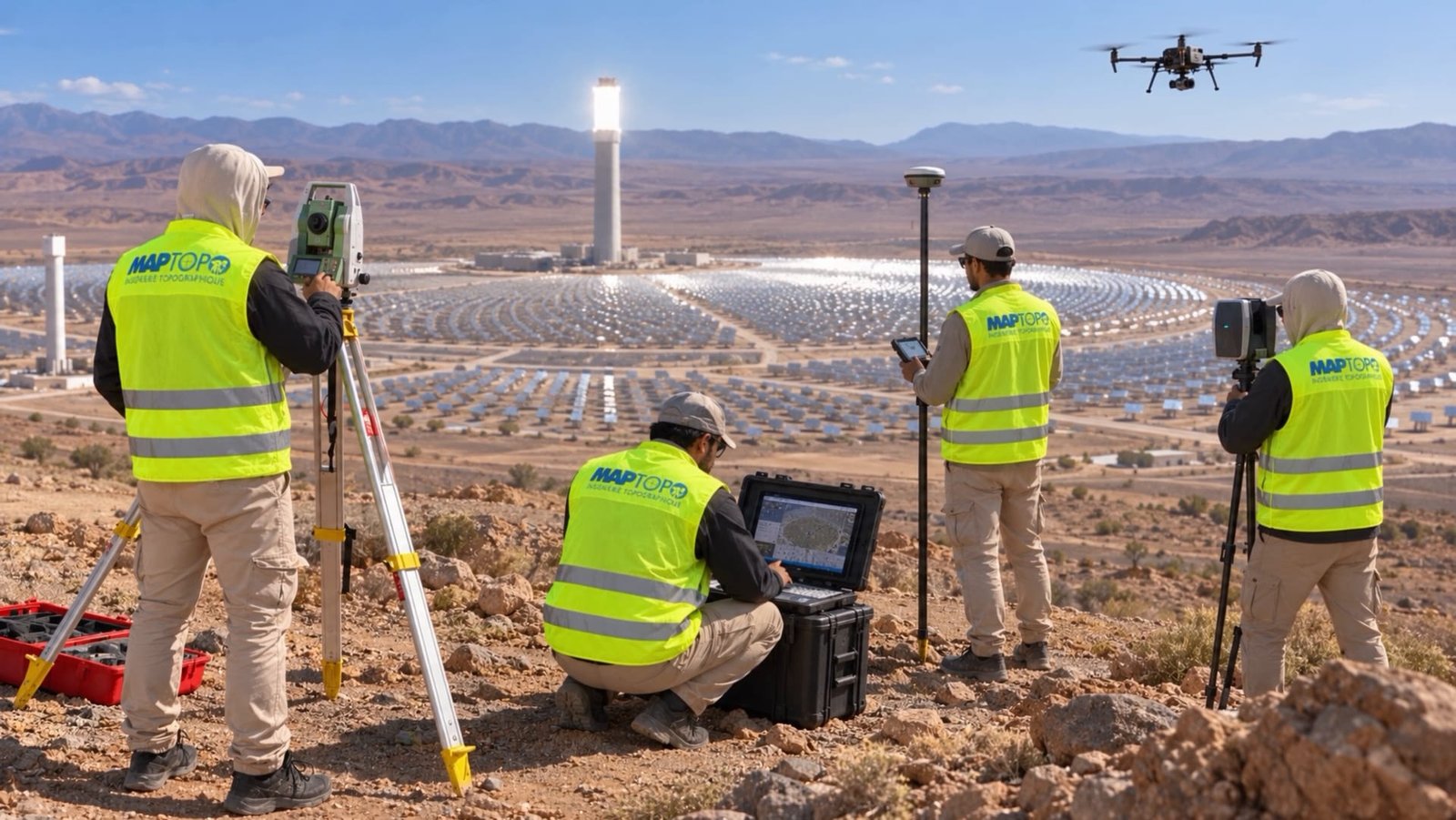
  7. 07 Energy and major projects At the scale of major works.Solar power plants · Infrastructure · Earthworks
  8. 08 Mapping and GIS Geographic data organised for decision-making.Maps · GIS · Georeferencing
  9. 09 Earthwork volumes Knowing exactly how much earth to move.Cut · Fill · Stockpiles
  10. 10 Urban planning and development Development projects built on measured ground.Housing developments · Subdivision · Development
  11. 11 Land and property surveys Measured facts to buy, divide or settle a dispute.Boundaries · Areas · Reports
  12. 12 Satellite remote sensing See an entire territory, and follow how it changes.Satellite · Land cover · Monitoring
  13. 13 Structural monitoring Regularly measuring what should stay still.Deformation · Settlement · Monitoring
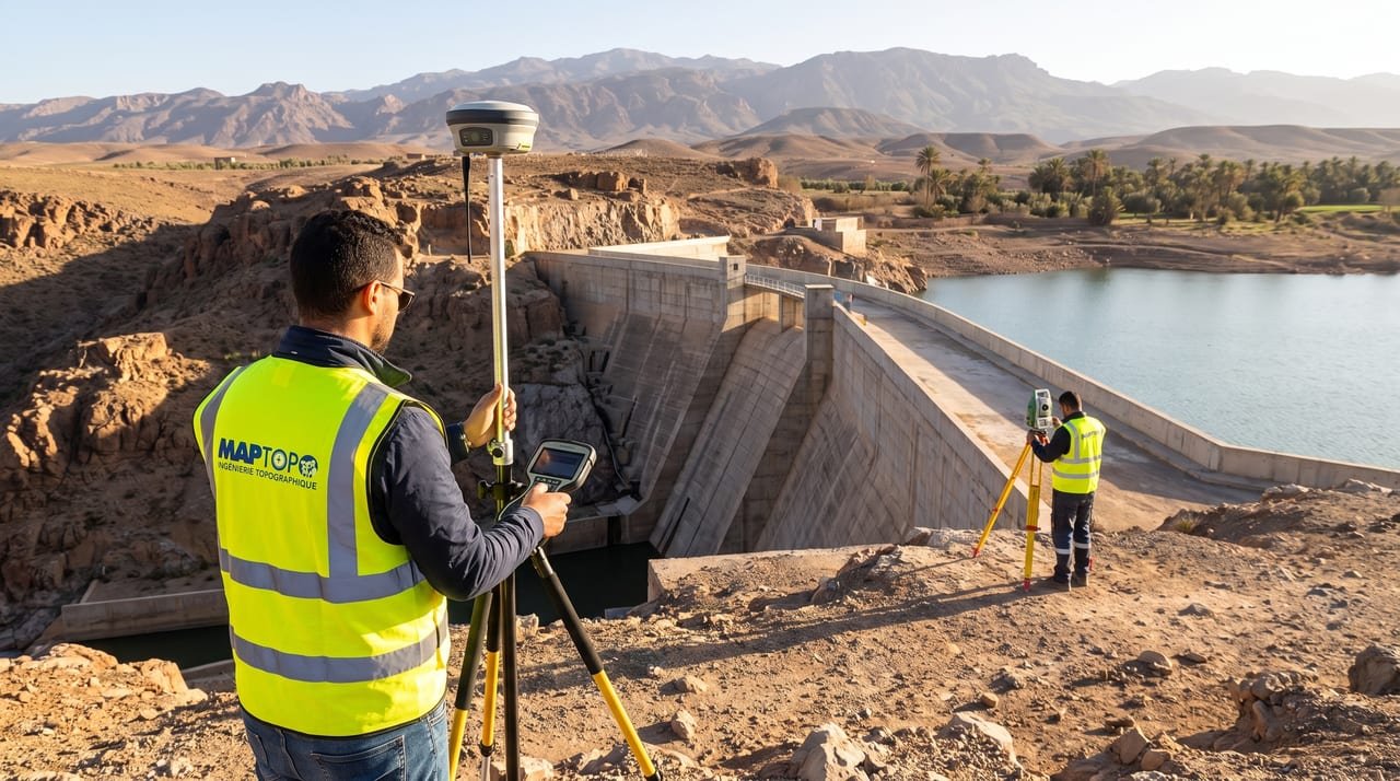
  14. 14 Bathymetry and hydrography Relief, even below the water surface.Reservoirs · Volumes · Siltation

One method, from site to decision

  1. 01

    Real terrain

    Site reconnaissance and tie-in to the project coordinate system.

  2. 02

    Data

    Field acquisition: GNSS, total station, drone or laser scanner, depending on the assignment.

  3. 03

    Measurement

    Computation, adjustment and accuracy checks on every measured point.

  4. 04

    Digital model

    Terrain model, point cloud, topographic plans: the site becomes usable data.

  5. 05

    Decision

    Deliverables that let you design, set out and inspect with confidence.

Quote request

Tell us about your project. We will come back to you with a proposal for the assignment.