
References
Surveying comes in at the start, during and at the end of every project. This page presents the sectors and types of assignments MAPTOPO supports.
Sectors
- 01
Infrastructure
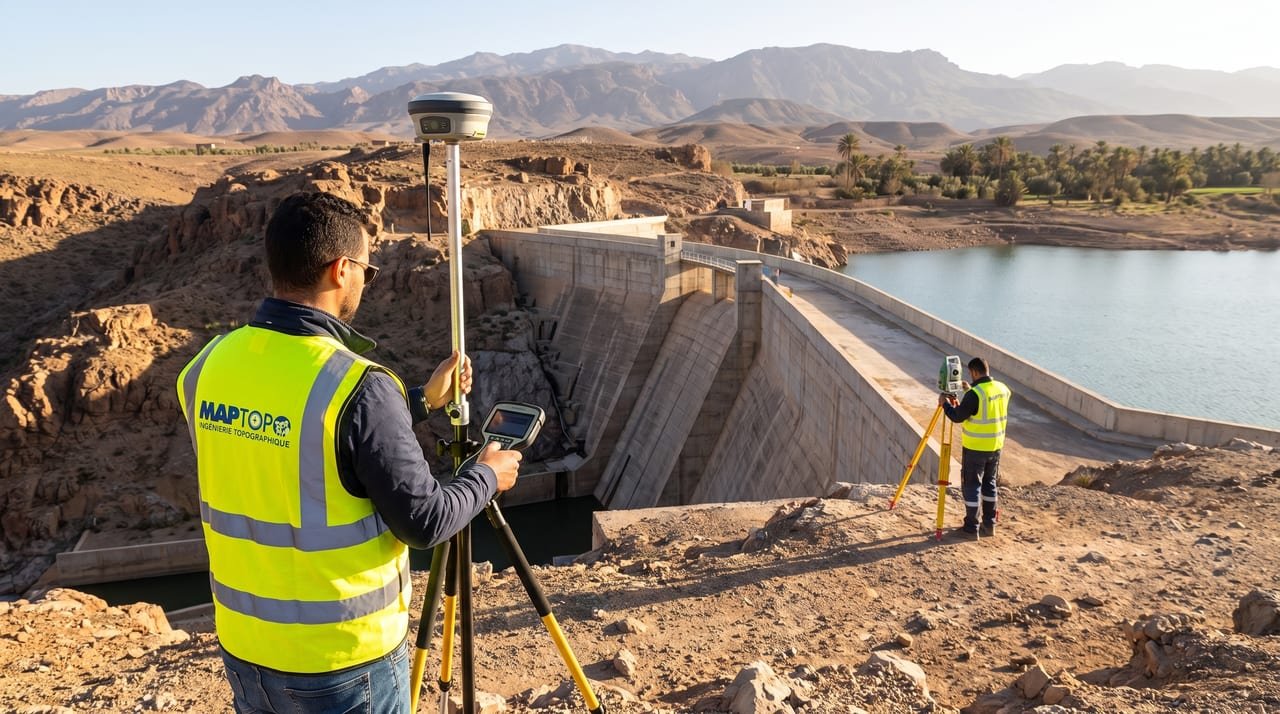
Engineering structures, platforms and public facilities: existing-site survey, setting out and geometric control of the works.
Related servicesSetting out and construction monitoringTopography
- 02
Roads
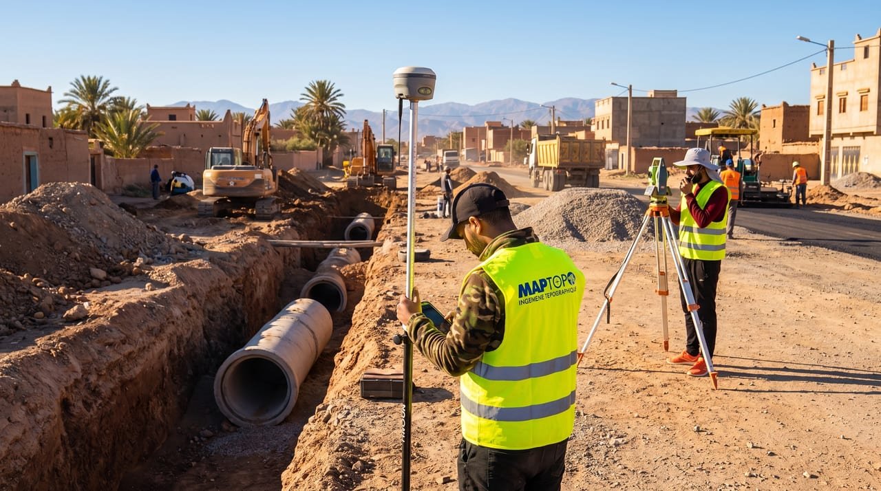
Roads, tracks and urban streets: corridor surveys, longitudinal and cross sections, earthwork volumes and setting out of centrelines.
Related servicesRoads and utilitiesEarthwork volumes
- 03
Energy
Solar plants and networks: terrain models over large areas, setting out of structures and monitoring of earthworks.
Related servicesEnergy and major projectsDrone and photogrammetry
- 04
Urban development
Housing developments and urban schemes: topographic plans, roads and utilities, subdivision and setting out of plots.
Related servicesRoads and utilitiesBoundaries and land
- 05
Buildings
New and existing buildings: measured surveys, setting out, construction control and laser scan surveys.
Related services3D scanning and BIMSetting out and construction monitoring
- 06
Land
Private and public property: boundary surveys, demarcation, subdivision and technical files for land registration.
Related servicesBoundaries and landMapping and GIS
- 07
Industry
Industrial sites and quarries: stockpile surveys, volume calculations, site plans and operations monitoring.
Related servicesEarthwork volumesDrone and photogrammetry
Projects
Six projects presented by MAPTOPO, from the control of solar installations to the 3D scanning of buildings under construction.
-

-
-

-

-
-

Named references are published with the consent of the project owners concerned.